


Access Road Clearing in Missouri: How to Plan a Usable Route


A useful access road starts with the route, not the machine. Whether the goal is a farm lane, hunting-property access, a path for land management, or a connection to a future building area, the clearing plan should reflect who will use it, how often, and what must happen after vegetation is removed.
Clearing opens the corridor. It does not automatically create a finished all-weather road. Grading, drainage work, base preparation, and gravel may be separate steps depending on the terrain and intended use. Making those distinctions early helps Missouri landowners request the right scope and avoid clearing a path that cannot support the next phase.
Define what the route needs to do
Describe the heaviest and least maneuverable vehicle expected to use the route, not just the pickup that can reach the property today. Consider equipment trailers, tractors, delivery vehicles, emergency access, or logging support if any apply. Also decide whether the route is for one project, seasonal use, or repeated year-round access.
Primary users and expected vehicle types
Frequency and season of use
Required destinations and turnaround points
Gate, fence, utility, and property-boundary constraints
Whether the next phase includes grading, drainage, or aggregate
Walk and mark the proposed corridor
A map is useful, but walking the route reveals slope changes, soft ground, washes, stumps, rock, tight turns, desirable trees, and places where visibility is limited. Mark the centerline and the approximate work limits so everyone can discuss the same corridor. Confirm property boundaries and locate utilities or other buried infrastructure before work begins.
Plan width, turns, and working space together
A straight corridor that is wide enough for a vehicle can still fail at a sharp turn, gate, bridge approach, or turnaround. The appropriate width depends on the equipment, terrain, sight distance, and need for passing or staging. Discuss curves and destination areas as part of the clearing plan rather than treating them as details to solve later.
Treat water and soil as route-design questions
Low areas, drainage paths, steep grades, and wet soil can determine whether a route remains usable. Clearing during saturated conditions can cause avoidable rutting, and concentrating runoff can damage the corridor or nearby ground. Identify problem areas before work starts and involve an appropriate road, drainage, or conservation professional when the route requires crossings or significant earthwork.
Choose what to retain, not only what to remove
Selective clearing can preserve valuable trees, screening, shade, and habitat while opening the travel corridor. Mark keep-trees clearly and identify limbs that may interfere with tall equipment. At intersections and curves, balance screening with the sight lines needed for safe operation on the property.
Where forestry mulching can fit
Forestry mulching can be useful for reducing brush and smaller woody growth within an access corridor while leaving processed material on the ground. Conditions, material size, terrain, and the required finished surface all affect whether it is the right approach. Stumps, large timber, grading, and road-base work may call for additional equipment or a separate phase.
Review Missouri Brush Control’s land-clearing and brush-control services to compare the types of work that may be combined for a property-access project.
Plan the handoff after vegetation removal
Before clearing starts, decide who will evaluate the subgrade, shape the surface, manage drainage, and place aggregate if those steps are needed. Coordinate the sequence so the cleared corridor is wide enough for the next contractor and debris is not left where ditches, shoulders, or turnouts must go.
What to include when requesting an estimate
Property location and a map or marked aerial image
Approximate start and end points
Intended vehicles and frequency of use
Known wet areas, slopes, utilities, fences, and access restrictions
Photos of representative vegetation and difficult sections
Trees or features that must be protected
Your expected condition at the end of the clearing phase
If you are planning rural property access, check our Missouri service areas and project gallery. Then contact Missouri Brush Control with the route, goals, and property conditions so the team can discuss an appropriate scope.
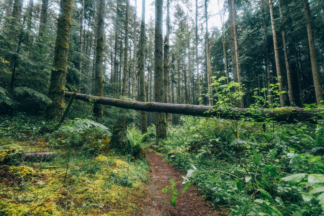
Photo by Timothy Huliselan via Pexels.


Comments